Locate your place
Address search and locate-me tools, alongside topographic and satellite mapping.
People · Places · Possibility
Where is where it starts.
A participatory mapping experience connecting people, businesses, skills, communities and natural resources through location intelligence.
Explore the Mapping Kiosk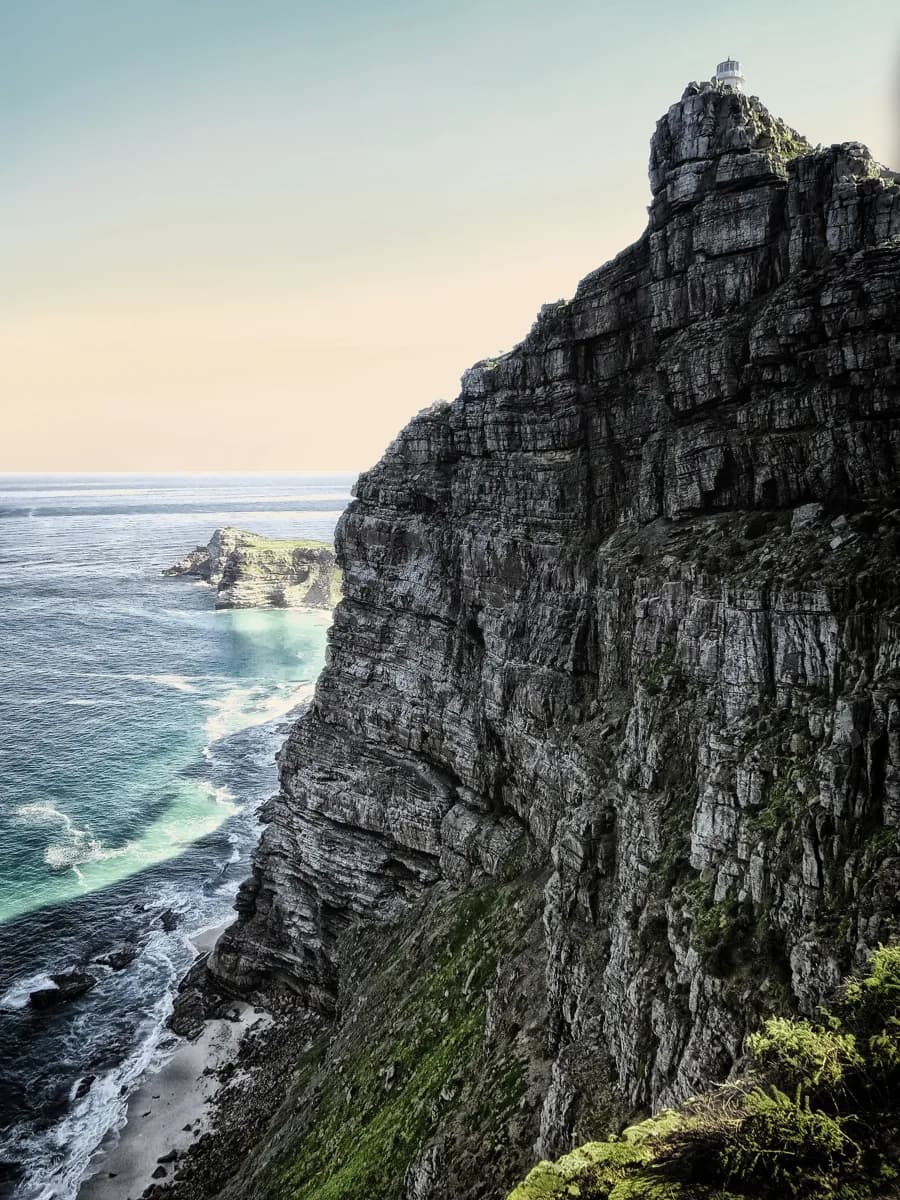
01 / Our mapping legacy
GeoTripz began with a participatory idea: local knowledge helps us understand a place.
The February 2025 Mapping Kiosk: Tourism & Hospitality guide describes GeoTripz as an enterprise and supplier development (ESD) partner of AfriGIS and records a public platform revision launched in September 2024.
That platform brought environmental context together with businesses, skills and community activity. GeoThrive Africa’s emerging H3 platform carries this interest in place and connection into a separate exploration experience.
This is a historical partnership reference. Current participation, branding and publication permissions remain to be confirmed; no current endorsement is implied.
02 / Explore your geography
Capabilities documented in the February 2025 guide. Availability in the legacy application may differ today.
Address search and locate-me tools, alongside topographic and satellite mapping.
Layer controls, H3 natural-capital grids, conservation zones and biodiversity overlays.
Local enterprise and points of interest, from coffee shops and guesthouses to wellness activities.
Community and business mapping, including a documented submission and approval workflow.
Two maps, two meanings. The legacy green grid represents the guide’s natural-capital model. The H3 Explorer uses red for its current weight scores. These are separate models; their colours and scores are not interchangeable.
03 / The original Mapping Kiosk
Explore in the frame.
Or give the map its own window.
A different way to see your surroundings
Explore the original GeoTripz map here, or open it in its own window.
04 / How participatory mapping works
Four steps from the documented GeoTripz approach. These examples explain the historical model and are not a claim that every tool is currently available.
Begin with an address or the locate-me tool. The February 2025 guide uses a business site as the starting point for exploring its surroundings.
February 2025 guide / pp. 2, 5–6Compare the green natural-capital grid with conservation and biodiversity layers. The guide illustrates coastal attributes, mountain buffers and possible ecological corridors.
February 2025 guide / pp. 3–4, 7–8Zoom into clustered points of interest and use categories to explore nearby activity. The guide’s examples include wellness, children’s activities, coffee shops and accommodation.
February 2025 guide / pp. 9–10, 14The historical workflow places a marker, categorises a business, skill or activity, then submits information for approval before it appears on the map. Current submission arrangements need confirmation.
February 2025 guide / pp. 11–1305 / Join the Grid
An African-first approach to mapping people, businesses, skills, community initiatives and local opportunity.
Help shape a participation model that stands on its own, without mandatory Meta or social-media login.
Join the GridHistorical source: Mapping Kiosk: Tourism & Hospitality, GeoTripz, 18 February 2025, pp. 1–16. Historical claims and current service availability are distinguished above.
Photograph: Rohan_Reddy via Good Free Photos · CC0 · resized and compressed.
A place to start
A location, a question, a dataset.
We'll work out the right next step together.