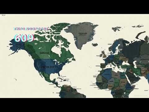
The Loop asks how spatial data can help us understand whether environmental interventions are making a difference. It connects the condition of a place before an intervention with the changes observed afterwards.
The video moves through a practical sequence: observe, locate, measure, restore and measure again. Its examples include wetlands, healthy soils and urban trees. The central question is how to connect a claim about improvement to a specific place and a defensible baseline.
For GeoThrive, this is a useful starting point for regenerative geography: map the context, define what matters, and keep returning to the evidence. A map supports that inquiry; demonstrating an outcome still requires suitable data and a sound method.
Watch the original video on YouTube Explore ESG & circular economy services